

In fast-paced construction and infrastructure landscape, accurate and reliable survey data forms the foundation for successful project execution. From land development to urban planning, every decision depends on the precision of survey results. Delhi NCR, being the hub of real estate, industrial expansion, and infrastructure projects, hosts a growing number of professional survey companies offering a wide range of specialized services.
In this article, we will explore the top survey companies in Delhi NCR, their services, technologies used, and the benefits of hiring professional surveyors for your project.
Importance of Surveying in Delhi NCR
Delhi NCR — encompassing Delhi, Noida, Gurugram, Faridabad, and Ghaziabad — is one of the fastest-developing regions in India. With rapid urbanization, infrastructure projects such as metro expansions, highways, smart city planning, and industrial parks demand accurate surveying and mapping.
Surveying plays a crucial role in:
- Land ownership verification: Ensures boundaries and property lines are legally valid.
- Construction planning: Provides engineers and architects with precise site measurements.
- Infrastructure development: Aids in designing roads, bridges, drainage systems, and utilities.
- Environmental management: Assists in topographic mapping and sustainable land use planning.
- Project cost efficiency: Prevents disputes, rework, and financial losses caused by inaccurate data.
Types of Surveys Offered by Companies in Delhi NCR
Most reputed survey firms in Delhi NCR provide a full spectrum of surveying services tailored to the client’s needs.
1. Land Survey
A land survey determines boundaries, land features, and ownership details. It is essential for property purchase, construction, and government approvals.
2. Topographical Survey
Topographic surveys identify natural and artificial features like trees, buildings, slopes, and contours. Engineers rely on these maps for project design and layout.
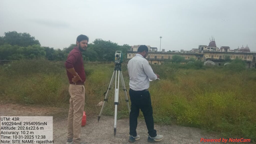
3. DGPS and GPS Survey
Modern survey companies use Differential Global Positioning System (DGPS) to capture precise coordinates and elevation data, especially for large-scale infrastructure and highway projects.
4. Contour Survey
Contour surveys map the elevation levels of a site. They are essential for planning drainage, road grading, and land leveling.
5. Drone Survey (Aerial Mapping)
Drone surveys have revolutionized data collection by capturing high-resolution aerial images. This technology ensures faster, safer, and more detailed mapping — perfect for large land areas.
6. Geotechnical Survey
Geotechnical surveys analyze soil composition and strength to determine its suitability for construction. They include soil sampling, borehole testing, and lab analysis.
7. Hydrographic and Bathymetric Survey
These surveys are conducted to map underwater terrains and water bodies, crucial for ports, dams, and river projects.
8. Boundary and Layout Survey
Boundary surveys help demarcate plots accurately, while layout surveys assist in marking positions for construction as per design plans.
Advanced Technology Used by Delhi NCR Survey Firms
The top survey companies in Delhi NCR integrate cutting-edge surveying technology to ensure maximum accuracy and efficiency.
Some of the advanced tools include:
- Total Stations – For high-precision land measurements.
- DGPS/GNSS Systems – For accurate positioning and coordinate mapping.
- LiDAR Scanners – For 3D terrain modeling and detailed topography.
- Drones & UAVs – For aerial surveys, mapping, and photogrammetry.
- AutoCAD & GIS Software – For data processing, visualization, and reporting.
- Soil Testing Equipment – For analyzing geotechnical and chemical soil properties.
By combining traditional expertise with modern tools, these companies deliver data-driven insights for smart decision-making.
Top Survey Companies in Delhi NCR
Here’s a look at some reputed survey companies in Delhi NCR known for their quality, precision, and experience:
1. Geomatics India
A well-established name offering DGPS, topographic, and drone surveys. They specialize in infrastructure, urban planning, and GIS mapping projects.
2. Aadi Construction & Survey Services
Known for land, contour, and geotechnical surveys, Aadi Construction provides end-to-end surveying and construction support across Delhi NCR.
3. Map My India Survey Division
Leveraging advanced GIS and mapping tools, they offer 3D mapping, drone-based survey, and digital mapping services for government and private clients.
4. Precision Surveying Solutions
Experts in boundary, layout, and as-built surveys, providing accurate and detailed project documentation.
5. SkyMap Technologies
A leading drone survey company specializing in aerial mapping, photogrammetry, and LiDAR-based terrain analysis.
Benefits of Hiring Professional Survey Companies in Delhi NCR
Engaging professional surveyors offers multiple advantages:
✅ Accuracy & Reliability
Expert surveyors ensure high-precision data collection using advanced tools, minimizing errors that could impact project design or legal boundaries.
✅ Regulatory Compliance
Professional companies follow government standards (e.g., Survey of India norms) and ensure compliance with and municipal regulations.
✅ Time & Cost Efficiency
With modern equipment and skilled teams, surveys are completed faster, reducing delays and costs associated with manual surveying errors.
✅ Comprehensive Reporting
Detailed reports, CAD drawings, and GIS data make analysis and decision-making easier for engineers, architects, and planners.
✅ Customized Solutions
Whether it’s a small plot, industrial site, or highway project, survey companies adapt their approach to meet project-specific needs.
Choosing the Right Survey Company in Delhi NCR
When selecting a survey firm, consider the following key factors:
- Experience & Expertise: Look for companies with proven experience in similar projects.
- Technology Used: Ensure they use modern instruments like DGPS, drones, or LiDAR.
- Team Qualifications: Skilled engineers and certified surveyors ensure accuracy.
- Client Reviews: Check testimonials and case studies for credibility.
- Deliverables & Reporting: Request sample survey reports or drawings.
- Budget & Timeline: Choose a partner offering transparent pricing and on-time delivery.
Applications of Surveying in Delhi NCR Projects
Surveying services are widely used across multiple sectors in the region:
- Real Estate: For boundary, layout, and topographic surveys.
- Government Infrastructure: Metro, highways, smart city, and airport development.
- Industrial Development: Site planning for factories and logistics hubs.
- Environmental Projects: Forest mapping, flood risk assessment, and drainage studies.
- Utilities & Energy: Power line, pipeline, and telecom tower alignment surveys.
Conclusion
The demand for survey companies in Delhi NCR is continuously increasing as infrastructure and construction projects expand across the region. Whether it’s a residential plot survey or a complex metro corridor mapping, professional surveyors ensure that every measurement is precise and compliant.
Investing in the right survey company means investing in accuracy, safety, and long-term project success. By combining advanced technology with experienced professionals, survey firms in Delhi NCR are shaping the future of infrastructure development — one measurement at a time.

