
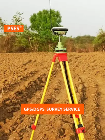
The Leading GPS Survey Company in Delhi
GPS surveying refers to the use of Global Positioning System technology for accurately determining the position of points on the Earth's surface. This technology has revolutionized the field of land surveying by providing precise location data, which is crucial for various applications such as construction, urban planning, and environmental management. With the evolution of GPS technology, traditional land surveying methods have been significantly augmented, offering numerous benefits, particularly in densely populated and rapidly developing areas like Delhi.
Why Choose PSES for GPS Surveying?
- Expertise in GPS technology
- Years of experience
- Regular data maintenance
- Cost savings in land survey
- Integration with GIS
- Technical support
- Transparent pricing
We have done various projects for Our expertise in GPS/DGPS surveying allows us to offer precise and reliable positioning data for various projects across industries. PSES worked with NTPC for Delhi Metro Rail Corporation (DMRC) which utilized GPS surveying to accurately map underground utility networks during the construction of metro lines. Similarly, with PWD and DDA in Chattarpur & Rithala area, to employ GPS technology for cadastral mapping and land registration purposes, streamlining administrative processes and enhancing transparency in land transactions.
What PSES do in GPS/DGPS Survey
- Accurately determining coordinates using GPS & DGPS technology
- Demarcate property lines minimizing disputes and legal issues
- Topographic mapping for planning, development & assessments
- Construction layout for projects in Delhi NCR
- Asset mapping for our clients in Delhi
- Environmental monitoring and assessment projects in Delhi
- Real-time positioning
- Detailed reports and documentation
The Leading GPS Survey Company in Delhi
GPS surveying refers to the use of Global Positioning System technology for accurately determining the position of points on the Earth's surface. This technology has revolutionized the field of land surveying by providing precise location data, which is crucial for various applications such as construction, urban planning, and environmental management. With the evolution of GPS technology, traditional land surveying methods have been significantly augmented, offering numerous benefits, particularly in densely populated and rapidly developing areas like Delhi.
About PSES
PSES is a comprehensive land surveying solution that helps you get accurate data quickly and cost-effectively. Our cutting-edge survey technology uses advanced algorithms and latest hardware to deliver unparalleled accuracy in data collection. Read more
Why Choose PSES for GPS Surveying?
- Expertise in GPS technology
- Years of experience
- Regular data maintenance
- Cost savings in land survey
- Integration with GIS
- Technical support
- Transparent pricing
We have done various projects for Our expertise in GPS/DGPS surveying allows us to offer precise and reliable positioning data for various projects across industries. PSES worked with NTPC for Delhi Metro Rail Corporation (DMRC) which utilized GPS surveying to accurately map underground utility networks during the construction of metro lines. Similarly, with PWD and DDA in Chattarpur & Rithala area, to employ GPS technology for cadastral mapping and land registration purposes, streamlining administrative processes and enhancing transparency in land transactions.
What PSES do in GPS/DGPS Survey
- Accurately determining coordinates using GPS & DGPS technology
- Demarcate property lines minimizing disputes and legal issues
- Topographic mapping for planning, development & assessments
- Construction layout for projects in Delhi NCR
- Asset mapping for our clients in Delhi
- Environmental monitoring and assessment projects in Delhi
- Real-time positioning
- Detailed reports and documentation
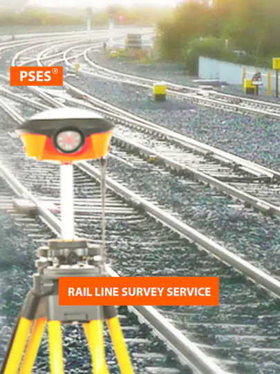
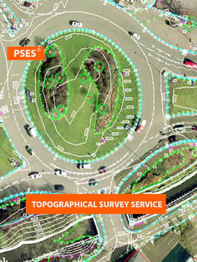
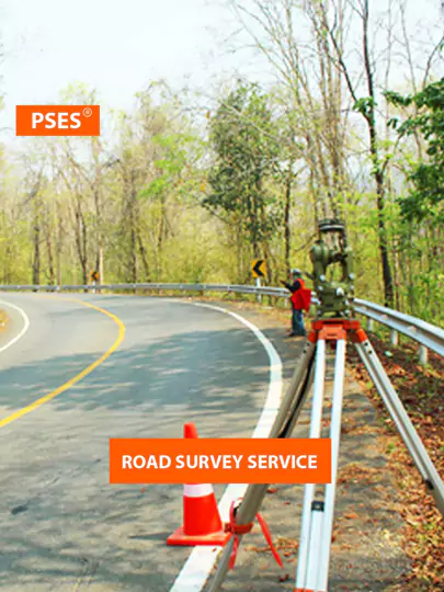
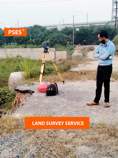
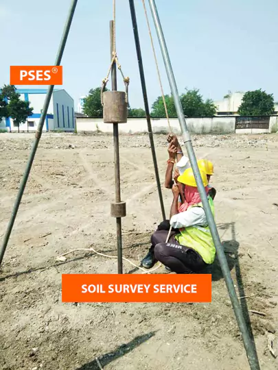
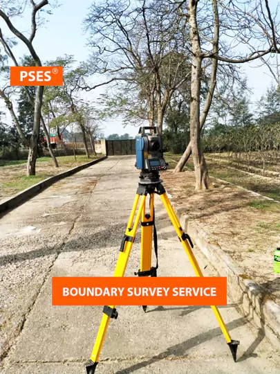
Our Range of Services
In the bustling metropolis of Delhi, where every inch of land holds immense value, having a reliable land surveyor
is crucial. Look no further, as PSES emerges as the foremost Land Survey Company in Delhi. We bring unparalleled
expertise and commitment to every project. Let's delve into the range of services PSES offer for all your land survey needs.
Some GPS/DGPS Survey Projects in Delhi
Total Station Survey (REPL) Greater Noida
Open PDF fileTopo Survey (DIMTS) Shastri Park, New Delhi
Open PDF fileGeo Technical (CIVIL MANTRA), Sohna Road, Gurugram
Open PDF fileSPT Soil Testing (GEMS), Paschim Vihar, Delhi
Open PDF fileSome GPS/DGPS Survey Projects in Delhi
Total Station Survey (REPL) Greater Noida
Open PDF fileTopo Survey (DIMTS) Shastri Park, New Delhi
Open PDF fileGeo Technical (CIVIL MANTRA), Sohna Road, Gurugram
Open PDF fileSPT Soil Testing (GEMS), Paschim Vihar, Delhi
Open PDF fileCommonly Asked Questions
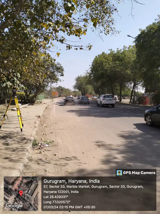
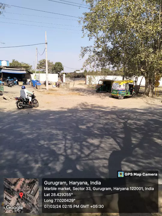
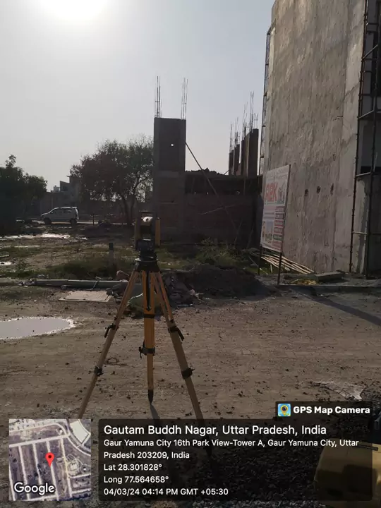
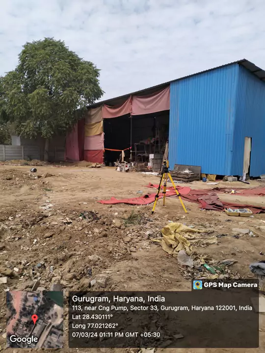
Images for Delhi Work
Commonly Asked Questions
Images for Delhi Work
Survey Your Land Now and Get Accurate Results!
Are you planning a construction project in Delhi, seeking property boundaries, or evaluating topographical features? PSES team of GPS/DGPS experts leverages cutting-edge technology to deliver accurate and timely results.
Survey Your Land Now and Get Accurate Results!
Are you planning a construction project in Delhi, seeking property boundaries, or evaluating topographical features? PSES team of GPS/DGPS experts leverages cutting-edge technology to deliver accurate and timely results.