
Topographical Surveyor in Delhi
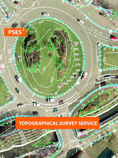
A topographical survey, often referred to as a "topo survey," is a detailed mapping of the natural and man-made features of a specific area of land. Topographical surveys use advanced surveying techniques and equipment, like total stations and GPS technology, to accurately show the terrain. They include information about elevation changes, contours, buildings, roads, vegetation, and water bodies.
Here at PSES, we are experts in delivering exceptional topographical surveying services in delhi that are specially designed to cater to the specific requirements of our valued clients.
Why is a Topographical Survey Needed?
Planning and Development
Topographic survey data plays a crucial role in assessing the suitability and feasibility of development projects. It helps planners and developers understand site constraints, identify potential challenges, and assess the feasibility of proposed projects. Architects, engineers, and urban planners use this data to design buildings, roads, utilities, and other infrastructure that integrates well with the natural landscape. Furthermore, topographic survey data is essential for developing mitigation measures to minimize environmental impact and preserve sensitive ecosystems. Accurate topographic maps and site plans also facilitate the permitting process and regulatory approvals.
Engineering Design
Engineers use topographical surveys to design structures and infrastructure that work well with the land's natural features. This helps them create designs that are safe, minimize environmental impact, and optimize construction. The surveys also help to understand and minimize the impact on sensitive habitats, wetlands, and natural features. They use the data to model water flow, assess flood risks, and plan drainage systems, as well as to decide where to place roads and bridges.
Legal Requirements
Topographical surveys are needed to follow local rules and laws. They give precise data for property boundaries, easements, and land titles, helping to solve disputes and follow the law.
Environmental Assessment
Topographical surveys are essential for environmental agencies to evaluate the potential impact of new projects on the environment. By accurately mapping out sensitive habitats, watercourses, and natural features, these surveys enable environmentalists to pinpoint areas that require conservation efforts and develop strategies to minimize environmental harm.
Best topographical surveyor
A topographical survey, often referred to as a "topo survey," is a detailed mapping of the natural and man-made features of a specific area of land. Topographical surveys use advanced surveying techniques and equipment, like total stations and GPS technology, to accurately show the terrain. They include information about elevation changes, contours, buildings, roads, vegetation, and water bodies.
About PSES
PSES is a comprehensive land surveying solution that helps you get accurate data quickly and cost-effectively. Our cutting-edge survey technology uses advanced algorithms and latest hardware to deliver unparalleled accuracy in data collection. Read more
Why is a Topo Survey Needed?
Planning and Development
Topographic survey data plays a crucial role in assessing the suitability and feasibility of development projects. It helps planners and developers understand site constraints, identify potential challenges, and assess the feasibility of proposed projects. Architects, engineers, and urban planners use this data to design buildings, roads, utilities, and other infrastructure that integrates well with the natural landscape. Furthermore, topographic survey data is essential for developing mitigation measures to minimize environmental impact and preserve sensitive ecosystems. Accurate topographic maps and site plans also facilitate the permitting process and regulatory approvals.
Engineering Design
Engineers use topographical surveys to design structures and infrastructure that work well with the land's natural features. This helps them create designs that are safe, minimize environmental impact, and optimize construction. The surveys also help to understand and minimize the impact on sensitive habitats, wetlands, and natural features. They use the data to model water flow, assess flood risks, and plan drainage systems, as well as to decide where to place roads and bridges.
Legal Requirements
Topographical surveys are needed to follow local rules and laws. They give precise data for property boundaries, easements, and land titles, helping to solve disputes and follow the law.
Environmental Assessment
Topographical surveys are essential for environmental agencies to evaluate the potential impact of new projects on the environment. By accurately mapping out sensitive habitats, watercourses, and natural features, these surveys enable environmentalists to pinpoint areas that require conservation efforts and develop strategies to minimize environmental harm.
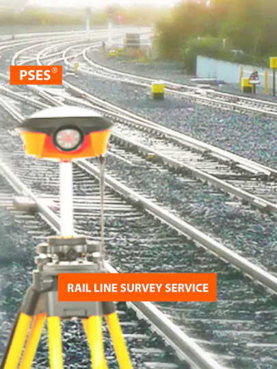
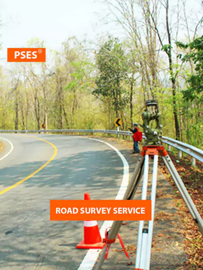
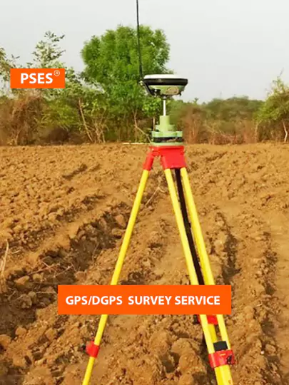
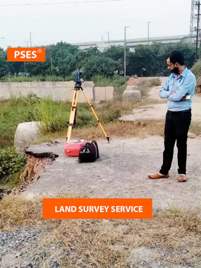
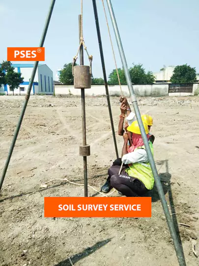
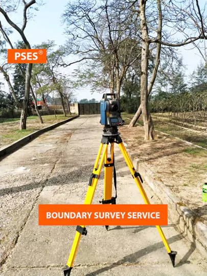
Our Range of Services
PSES is highly rated & recommended survey company in India. We are licensed in land surveying to provide
digital land survey services & land planning for private & public projects. PSES completed more than 500+
projects in different states in India. Following are the most common survey types, we are confident at.


Our Range of Services
PSES is highly rated & recommended survey company in India. We are licensed in land surveying to provide digital land survey services & land planning for private & public projects. PSES completed more than 500+ projects in different states in India. Following are the most common survey types, we are confident at.
Topo Survey Projects
Total Station Survey (REPL) Greater Noida
Open PDF fileTopo Survey (DIMTS) Shastri Park, New Delhi
Open PDF fileGeo Technical (CIVIL MANTRA), Sohna Road, Gurugram
Open PDF fileSPT Soil Testing (GEMS), Paschim Vihar, Delhi
Open PDF fileTopo Survey Projects
Total Station Survey (REPL) Greater Noida
Open PDF fileTopo Survey (DIMTS) Shastri Park, New Delhi
Open PDF fileGeo Technical (CIVIL MANTRA), Sohna Road, Gurugram
Open PDF fileSPT Soil Testing (GEMS), Paschim Vihar, Delhi
Open PDF fileFAQs About Topo Survey Services
FAQs About Topo Survey Services
Survey Your Land Now and Get Accurate Results!
Are you planning a construction project, seeking property boundaries, or evaluating topographical features? PSES team of experts leverages cutting-edge technology to deliver accurate and timely results.
Survey Your Land Now and Get Accurate Results!
Are you planning a construction project, seeking property boundaries, or evaluating topographical features? PSES team of experts leverages cutting-edge technology to deliver accurate and timely results.